The relief of Bucharest: the city built on seven hills and a plain of hidden waters
By Bucharest Team
- Articles
- 26 SEP 25
When we think of Bucharest, we picture buildings, boulevards, traffic, or its eclectic architecture. Few, however, stop to ask: what kind of land does the capital actually stand on? The relief of Bucharest, seemingly flat and uneventful, has its own geological and natural stories that explain not only the city’s present-day look but also the way it developed.
The Vlăsia Plain – the city’s foundation
Bucharest lies in southern Romania, on the Vlăsia Plain, part of the larger Romanian Plain. This is a low area, with altitudes below 100 meters, formed by alluvial deposits carried by rivers over time toward the Danube. Because of this, the soils are fertile and groundwater is abundant.
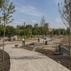
The plain directly shaped the city’s life: it made agriculture possible, which sustained the early settlement, but also created marshy areas that challenged its first inhabitants.
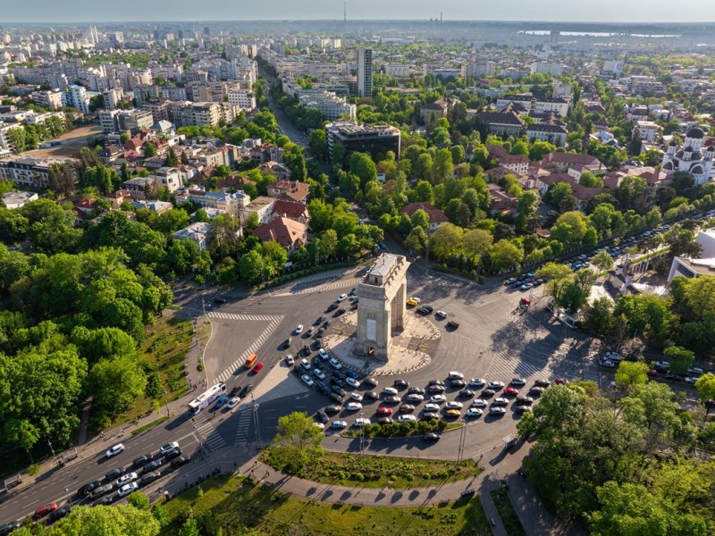
Bucharest’s seven hills
Like Rome, Bucharest rose on seven hills. They are not mountains, but gentle rises in the plain, yet they marked the city’s historical landmarks. Among them are:
- Patriarchate Hill (Mitropoly Hill)
- Radu Vodă Hill
- Cotroceni Hill
- Arsenal Hill
- Spirii Hill
- Filaret Hill
- Mihai Vodă Hill
On these elevations, monasteries, fortifications, and palaces were built, precisely because they offered visibility and protection compared to the lower, flood-prone areas.
Dâmbovița and Colentina – the rivers that shaped the city
The relief of Bucharest is crossed by two main rivers:
- The Dâmbovița, which runs through the city center. For centuries, it was both a water source and a source of disease and flooding. Today it is canalized and tamed, but historically it dictated the layout of neighborhoods.
- The Colentina, which flows through the northern part of the city, forming a chain of artificial lakes (Herăstrău, Floreasca, Tei, Plumbuita, Pantelimon). These were created through hydro-technical works in the 20th century and drastically changed the urban landscape.
In addition, there were many secondary valleys and streams, now buried under asphalt.
The underground – clay, sand, and hidden waters
Beneath the city lie layers of clay, sand, and gravel that retain water. This explains Bucharest’s high groundwater level, with abundant underground springs. It accounts for the city’s old wells as well as modern problems of seepage and underground flooding.
Relief and urban development
The city’s gently undulating plateau allowed Bucharest to expand quickly, without natural obstacles. However, the low-lying areas along the Dâmbovița or around the lakes have always been vulnerable to flooding. This is why the city had to build a complex system of dikes, canals, and river regularizations.
The relief of Bucharest does not impress with great heights or dramatic shapes. Yet it tells a story of adaptation: people building on hills for safety, taming rivers and marshes, and transforming a water-rich plain into today’s capital.